What It Includes
Departure and reconnaissance of the site, Construction of a shooting justification

Сервис United Building
We carry out topographic surveys of sites, grounds, and linear facilities, providing the deliverables in a working format. We work on residential, commercial, infrastructure, and industrial projects across Uzbekistan.
Departure and reconnaissance of the site, Construction of a shooting justification
Topographic survey scale 1:500, Topographic survey scale 1:1000
Site inspection, Solution preparation
Навигация по странице
Обзор
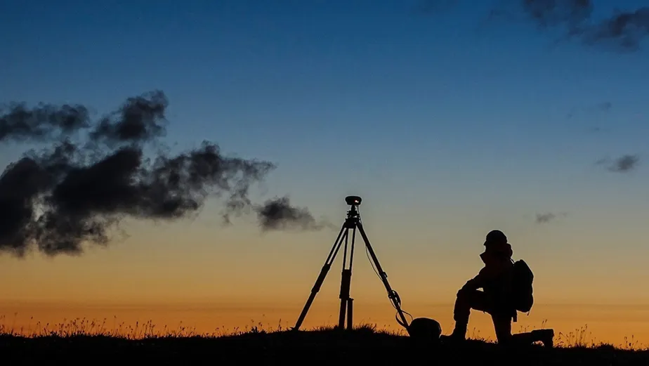
Topographic surveying is a set of geodetic works that results in an accurate site plan showing terrain, existing buildings, roads, utilities, and other features.
We survey the area for design, reconstruction, landscaping, and construction. We take into account site boundaries, elevation changes, surfaces, utility networks, access roads, and existing development.
We deliver the results in the agreed scale and format so they can be used in the project, during approvals, and for further engineering surveys.
Состав работ
Materials are suitable for design and approvals.
We transmit the topoplan in the agreed scale and form.
We record the actual condition of the site on the date of shooting.
We plan departure and processing according to the project schedule.
We clarify the task, the boundaries of the site and the required scale.
We are planning the composition of field work and the format of the final materials.
We carry out measurements on the ground and collect field data.
We process the results and transfer topographic materials to the customer.
Запрос по услуге
Leave a request, and we will prepare a solution for your project.
For design, approvals, territory planning and preparation of initial data on the site.
Usually 1:500 and 1:1000, but the scale is chosen for the purpose of the project.
Yes, we update based on the actual condition of the site.
Let's discuss your tasks, find the optimal solution, and schedule the work. We will answer your questions and provide details on current promotions. Stay in touch!
Start collaborating with United Building right now. We will answer your questions and provide detailed information about the partnership terms. Quick response within 24 hours!